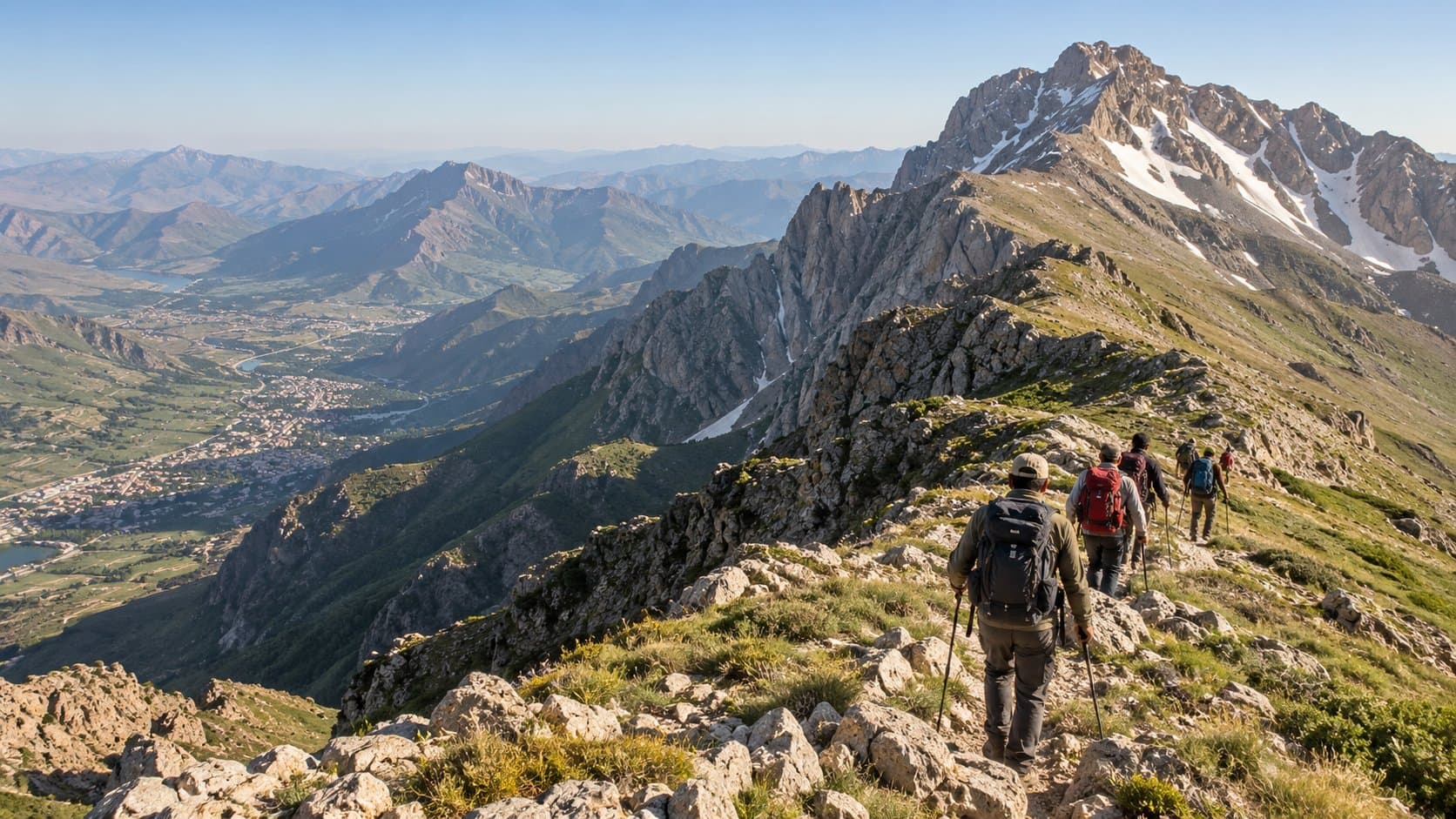
Mount Halgurd summit trek from Choman
Overview
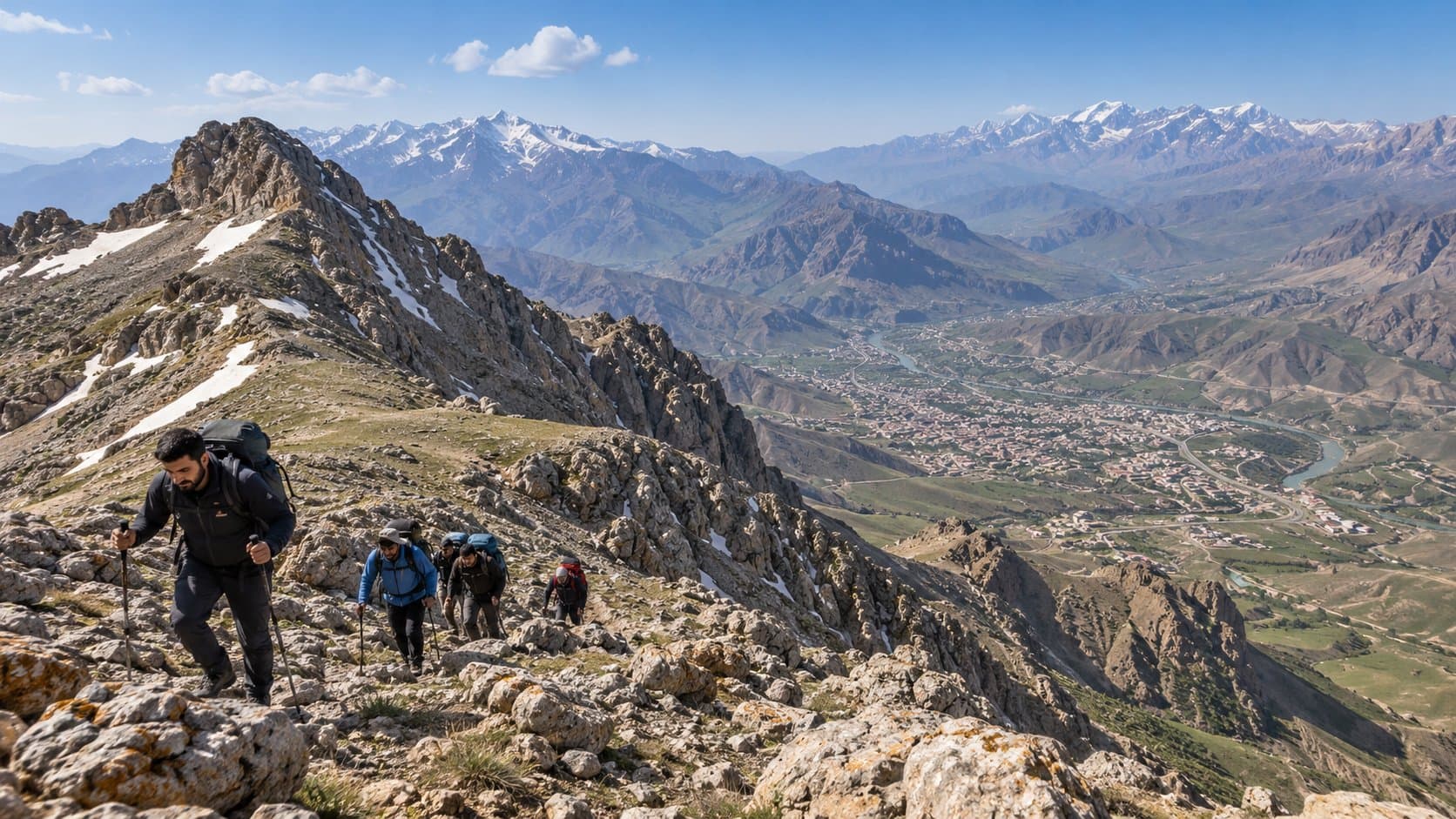
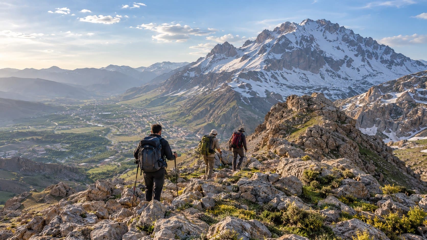
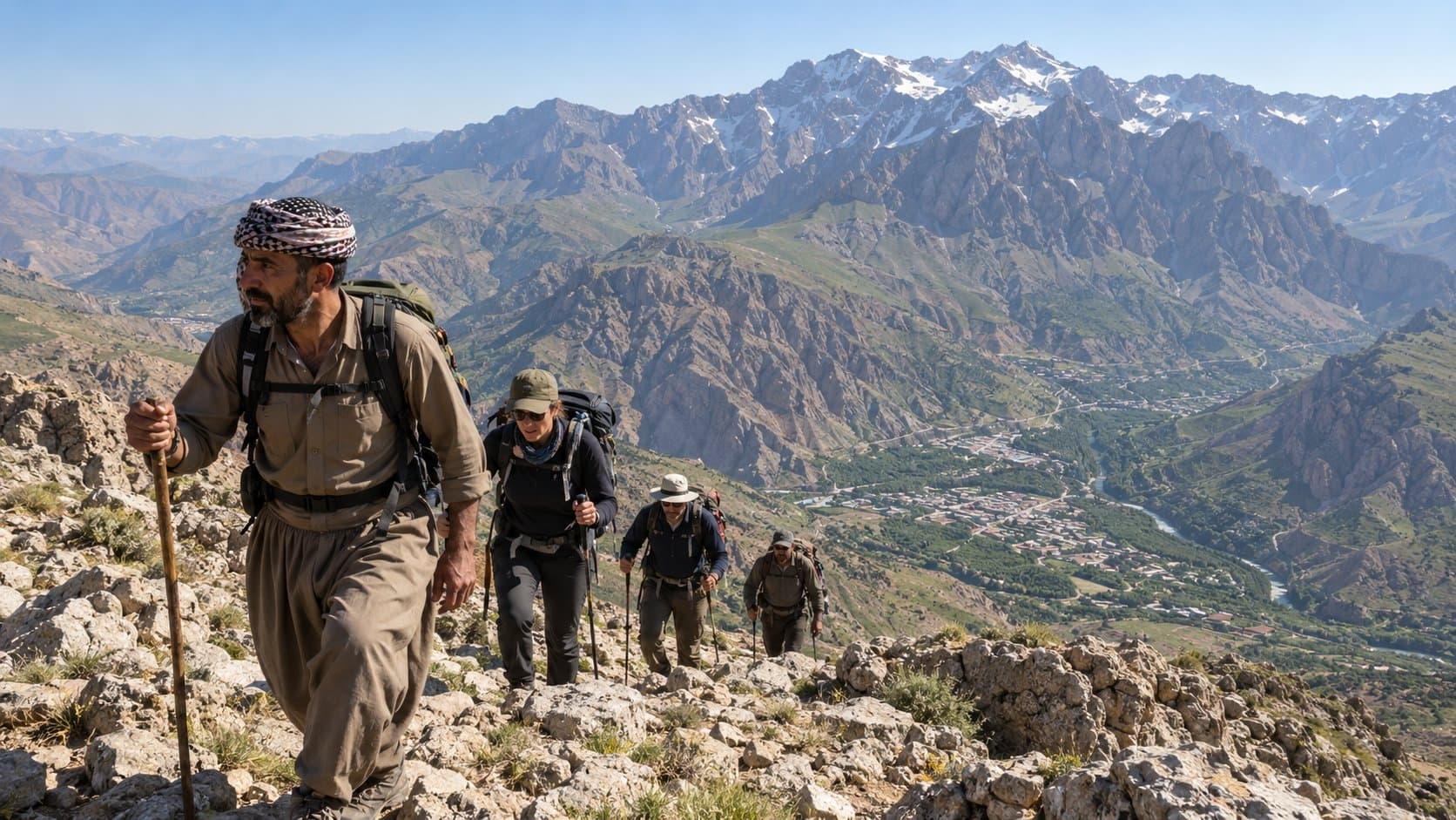
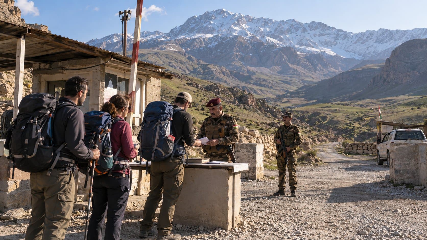
Mount Halgurd rises to 3,607 meters (11,834 feet) in the Zagros Mountains of Iraqi Kurdistan. It stands as the highest peak lying entirely within Iraq. The higher Cheekha Dar summit (3,611 meters) straddles the disputed Iran-Iraq frontier and remains heavily militarized. Halgurd is the primary mountaineering objective in the country. The district capital of Choman serves as the base for climbs tackling the mountain. Reaching the summit requires route-finding accuracy, physical endurance, and strict attention to security. The surrounding slopes hold unmarked minefields dating to the 1980s Iran-Iraq War. Checkpoints regulate movement through the border highlands. Planning your trek from Choman demands current logistics, vetted local guides, and an understanding of seasonal weather windows. {{image}} ## Route Profile and Difficulty The summit ascent from Choman begins with a 4x4 drive into the high pastures above town. The vehicle track climbs eastward from Choman (altitude ~1,300 meters) toward base camps or high pastoral valleys situated between 2,200 and 2,500 meters, such as the pastures near Nawanda or the Khwari Miran highlands. From the end of the vehicle track, hikers proceed on foot. - **Total Elevation Gain:** Approximately 1,100 to 1,400 meters on foot from the high trailheads. - **Round-Trip Distance:** 12 to 16 kilometers, depending on where 4x4 access ends. - **Duration:** 8 to 11 hours of trekking for a round-trip summit push. Many groups establish an overnight camp in the high meadows to acclimatize and start before dawn. - **Technical Difficulty:** Non-technical Class 2 to Class 3 scramble during summer. The route traverses rocky alpine meadows, dry boulder fields, steep scree slopes, and an exposed final summit ridge. Hand support is necessary across broken rock. An ice axe, crampons, and alpine mountaineering experience are mandatory if snowfields persist. The physical exertion is demanding. Thin air above 3,000 meters slows pace, while shifting scree tires legs quickly on the final 500-meter climb to the crest. Weather changes swiftly; midday storms bring sudden temperature drops, high winds, and cloud cover that obscures route landmarks. ## Best Season to Climb Seasonal timing determines whether Halgurd is an alpine scramble or a serious winter mountaineering ascent: - **Summer (Late June to September):** The recommended window for standard trekking. Snow recedes from the lower approaches and south-facing ridges, though perennial snow patches remain in high north-facing gullies. High-altitude temperatures range from 15°C to 25°C during the day, dropping to single digits at night. - **Spring (April to May):** The lower Balakayati valleys and pastures bloom, but deep snow and avalanche hazards persist above 2,500 meters. Melting snowbanks conceal rock fissures and unexploded ordnance. Spring climbs require crampons, ice axes, and cold-weather mountain gear. - **Autumn (October to early November):** Autumn offers crisp air, stable atmospheric conditions, and empty trails. Snowstorms can arrive unexpectedly by late October, coating rocky scree in slick verglas. - **Winter (December to March):** Strictly for experienced winter mountaineers. Sub-zero temperatures, heavy snow accumulation, blizzard whiteouts, and severe avalanche hazards make unguided travel life-threatening. {{image}} ## The Necessity of Local Guides Hiring an experienced local mountain guide from Choman is essential. Independent hiking on Halgurd carries life-threatening hazards. The border highlands around Choman and the slopes of Mount Halgurd saw intense fighting during the 1980–1988 Iran-Iraq War. Millions of anti-personnel and anti-tank landmines were laid across ridges, passes, and former military encampments. Cleared corridors exist along established paths, but unmapped mine lines remain. As recently as August 2025, mine detonations on the slopes of Halgurd caused fatal casualties among local residents. A local guide knows the exact shepherd tracks that are safe and steers climbers away from dangerous ridges and old gun positions. Guides in Choman also manage logistics with local authorities, arrange reliable 4x4 transport across steep dirt tracks, and coordinate rescue efforts if an injury occurs in the backcountry. Guiding teams can be arranged through local adventure outfits in Choman, Erbil-based operators, or organizers connected to the [Zagros Mountain Trail](https://www.zagrosmountaintrail.org/). {{image}} ## Access Requirements, Checkpoints, and Permits Mount Halgurd sits within the officially designated—though largely unmanaged—Halgurd-Sakran National Park area. Bureaucratic and military procedures govern access: 1. **Peshmerga Checkpoints:** Security forces operate checkpoints along the Hamilton Road through the Soran District and around Choman. Foreign trekkers must carry original passports with valid Iraqi Kurdistan or Federal Iraqi entry stamps and visas. At rural checkpoints, soldiers verify identities and record intended routes and local contacts. 2. **Local Security Clearance:** Before proceeding onto high mountain tracks toward the Iranian border zone, your local guide or driver registers your names with the local security office (Asayish) in Choman. This step ensures authorities know who is on the mountain and will clear your 4x4 through rural outposts. 3. **Park Fees and Permits:** There is currently no formal fee or centralized permit office for Halgurd-Sakran National Park. Checkpoint clearance and guide registration serve as functional permission to climb. 4. **Border Proximity Precautions:** The summit of Halgurd lies within sight of the international boundary. Hikers must stay strictly west of ridgelines facing Iranian military observation posts. Straying toward border crests risks military interception. {{image}} ## Essential Gear Checklist Prepare for self-sufficient backcountry conditions. There are no shelters, water stations, or medical clinics on the upper mountain: - **Footwear:** Sturdy high-ankle trekking boots with stiff vibram soles to protect against sharp scree and jagged limestone. - **Layers:** Breathable base layers, an insulating fleece or down jacket, and a windproof, waterproof hard-shell jacket. High-altitude winds on the ridge are bitterly cold year-round. - **Navigation and Safety:** Offline GPS maps, a dedicated compass, a charged power bank, and a comprehensive field first-aid kit. - **Hydration and Nutrition:** At least 3 to 4 liters of water per person (or water filters for clean snowmelt streams at lower elevations) and high-energy trail food. - **Sun Protection:** High-SPF sunscreen, polarized UV sunglasses (essential on glaring scree and snow), and a brimmed sun hat. ```json { "faqs": [ { "id": "faq-1", "question": "Is Mount Halgurd the highest mountain in Iraq?", "answer": "Mount Halgurd is the highest peak situated entirely within Iraq at 3,607 meters (11,834 feet). Cheekha Dar (3,611 meters) is technically four meters higher, but its summit sits directly on the international border with Iran in a heavily militarized restricted zone." }, { "id": "faq-2", "question": "Can I climb Mount Halgurd without a guide?", "answer": "Climbing without a licensed local guide is strongly discouraged. The mountain and surrounding ridges contain unmarked minefields from the Iran-Iraq War, and route deviations can enter hazardous military or contaminated terrain." }, { "id": "faq-3", "question": "How do I travel from Erbil to Choman?", "answer": "Choman is accessible by car or shared taxi from Erbil via the scenic Hamilton Road (Route 3) past Shaqlawa, Soran, and Rawanduz. The drive covers roughly 160 kilometers and takes between 3 and 4 hours depending on traffic and checkpoint stops." }, { "id": "faq-4", "question": "What is the best month to trek Mount Halgurd?", "answer": "July and August offer the safest and most accessible conditions, as snow has melted off the primary trails and daytime temperatures remain comfortable compared to the scorching heat in the lowlands." }, { "id": "faq-5", "question": "Do I need special mountaineering equipment for a summer climb?", "answer": "In mid-to-late summer, technical mountaineering gear such as ropes and harnesses is not required. However, stiff hiking boots, trekking poles, warm thermal layers, and windproof outer gear are mandatory. Early summer or spring climbs require crampons and ice axes." }, { "id": "faq-6", "question": "Where can hikers stay in or near Choman?", "answer": "Visitors can stay in guesthouses and local homestays in Choman, rent traditional orchard cottages (xanebaxe) in the Balakayati valleys, base themselves in hotels in nearby Soran or Rawanduz, or camp at designated meadows below the peak." } ] } ``` ## Sources - Iraq Tourism Guide, "Kurdistan Hiking Guide: Trails, Halgurd and Mines," [https://www.iraqtourism.org/kurdistan-hiking/](https://www.iraqtourism.org/kurdistan-hiking/), accessed October 2026. - Zagros Mountain Trail, "Trail Overview and Route Map," [https://www.zagrosmountaintrail.org/](https://www.zagrosmountaintrail.org/), accessed October 2026. - Untamed Borders, "Trek Kurdistan – Zagros Mountain Trail Itinerary," [https://untamedborders.com/itinerary/trek-kurdistan-zagros-mountain/](https://untamedborders.com/itinerary/trek-kurdistan-zagros-mountain/), accessed October 2026. - Dimitrios Fanourios Pischinas, "Mount Halgurd: Independently Climbing Iraq's Highest Mountain," *The Blog of Dimi*, [https://theblogofdimi.com/mount-halgurd-climbing-iraqs-highest-mountain/](https://theblogofdimi.com/mount-halgurd-climbing-iraqs-highest-mountain/), accessed October 2026.