Visit Ahmed Awa Waterfall near Halabja for mountain cascades, streamside orchards and a glimpse of Hawraman’s highland landscape.
Ahmed Awa Waterfall and Hawraman Valley
A waterfall in the Hawraman highlands
East of Halabja, near the Iranian border, Ahmed Awa lies in a mountain valley where the Zalm stream runs through a wooded gorge. Apple Maps marks the waterfall on Ahmadawa-Zalm Road at 35.31616° N, 46.08981° E (Apple Maps).
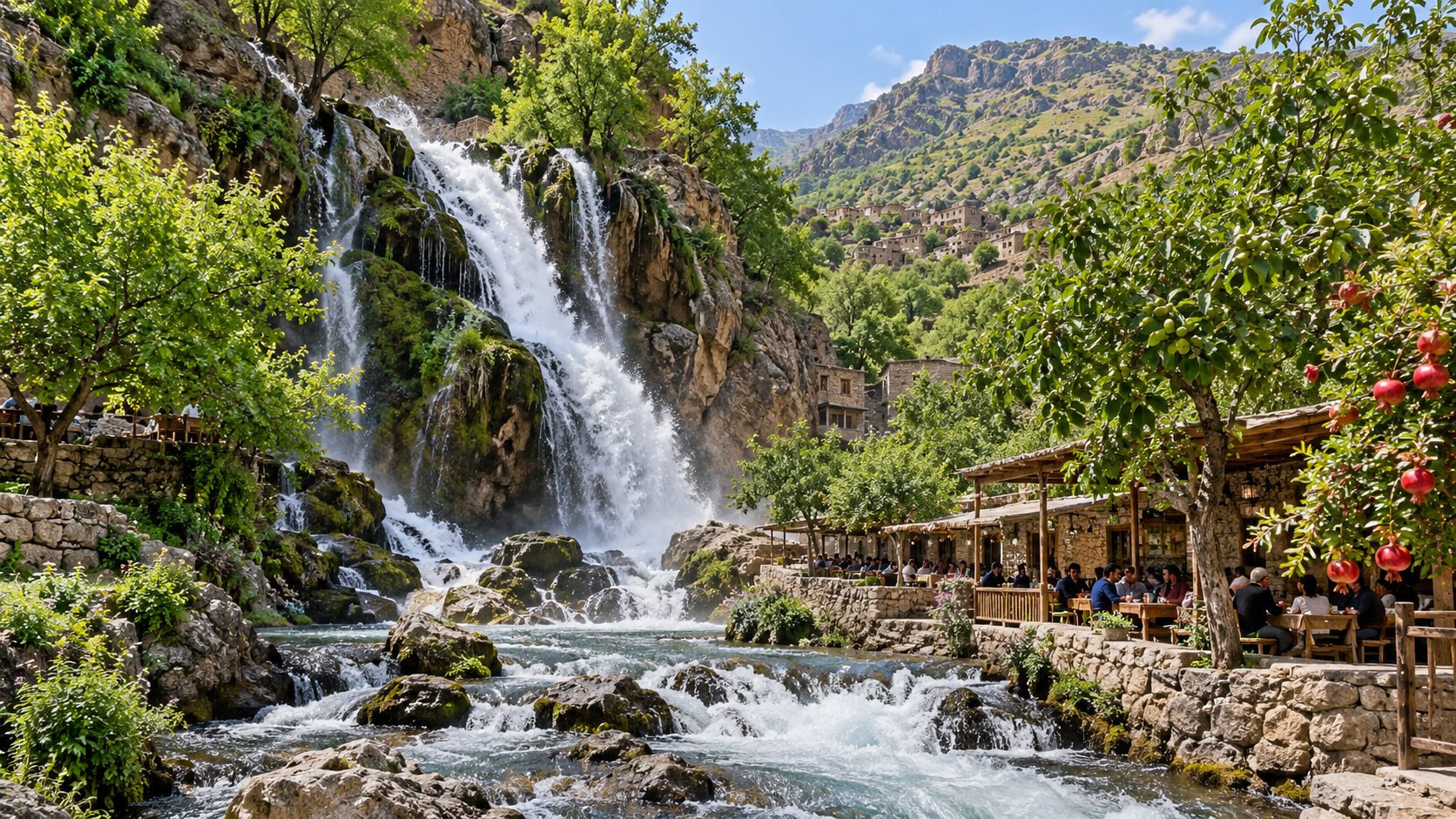
Spring snowmelt feeds the cascades, and the hills and orchards are green. Water levels can fall by late summer. Around Ahmed Awa village, walnut and pomegranate trees grow near tea houses and restaurants beside the stream (Meridiela's guide to Ahmed Awa).
What to expect at the falls
Local families visit to spend time outdoors. Paths run beside the falls, and visitors can stop by the stream or sit at a riverside business. The valley can be crowded in warm weather, especially on weekends, and traffic on the road can be heavy, according to Meridiela's guide.
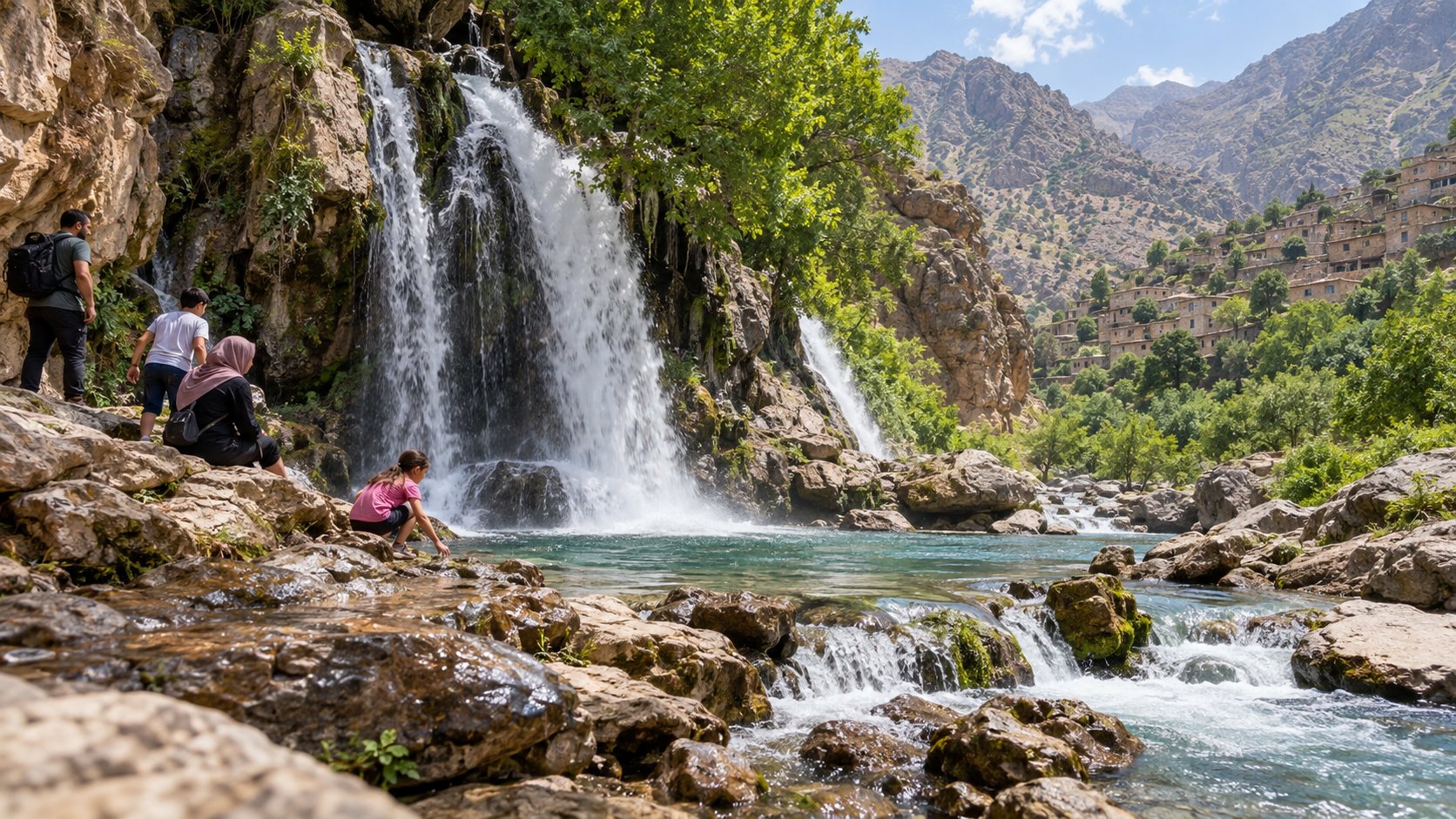
Ahmed Awa is suited to a day visit, not a remote wilderness hike. Wear shoes with good grip near the water. Rocks can be slippery, and stream levels can change. Keep children away from the water's edge, take your rubbish with you, and ask before photographing people.
The wider valley
Hawraman has steep mountains, villages, and terraced cultivation. Ahmed Awa's stream and orchards are part of this wider region, but the waterfall is only one small part of it. The falls are near the Iranian border. Carry identification and follow local guidance (Meridiela).
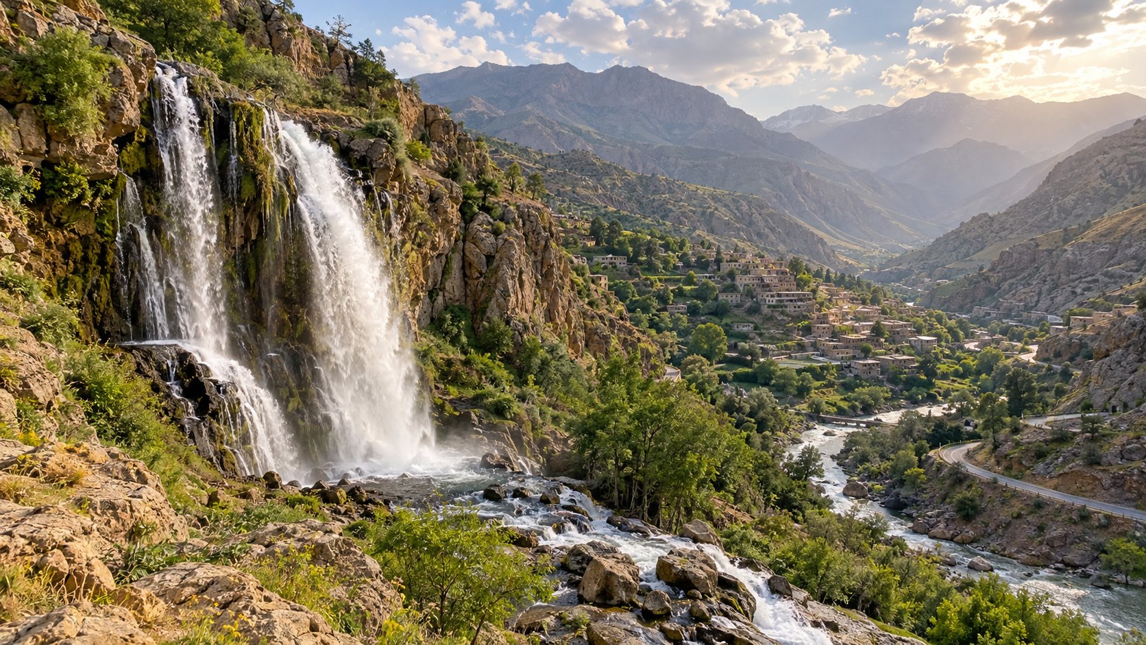
Check local road and weather conditions before travelling. The available sources do not give current opening hours or fees, so confirm these locally. Spring usually brings stronger flow; by summer, the falls may be lower and the valley busier.
Planning your visit
Ahmed Awa is northeast of Halabja in Sulaymaniyah Governorate. Use the mapped pin to plan your route, then confirm the road is open. For a quieter visit, avoid busy weekend periods. Bring water, sun protection, and shoes for uneven paths. Respect the stream and orchards, and take your rubbish with you.
[
  {
    "id": "faq-1",
    "question": "Where is Ahmed Awa Waterfall?",
    "answer": "Ahmed Awa is northeast of Halabja in Sulaymaniyah Governorate, near the Iranian border."
  },
  {
    "id": "faq-2",
    "question": "How do I get to Ahmed Awa Waterfall?",
    "answer": "The waterfall is on Ahmadawa-Zalm Road. Use its map pin to plan your route and check local road conditions before you travel."
  },
  {
    "id": "faq-3",
    "question": "When is the waterfall at its fullest?",
    "answer": "Spring snowmelt usually brings stronger flow. Water levels can fall by late summer."
  },
  {
    "id": "faq-4",
    "question": "What should I bring for a visit?",
    "answer": "Bring water, sun protection, and shoes with good grip for uneven, potentially slippery paths."
  },
  {
    "id": "faq-5",
    "question": "Is Ahmed Awa suitable for families?",
    "answer": "Families visit the area, but keep children away from the water's edge because rocks can be slippery and stream levels can change."
  },
  {
    "id": "faq-6",
    "question": "Are there opening hours or an entrance fee?",
    "answer": "The available sources do not list current opening hours or fees. Confirm these details locally before your visit."
  }
]
Sources
- Meridiela, "Ahmed Awa Waterfall, Iraq - what to expect". Accessed 15 September 2026.
- Apple Maps, "Ahmad Awa Waterfall in Ahmadawa-Zalm Road". Accessed 15 September 2026.