King Sennacherib's Aqueduct Trail at Jerwan
Overview
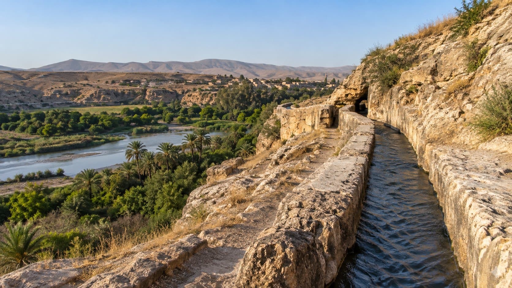
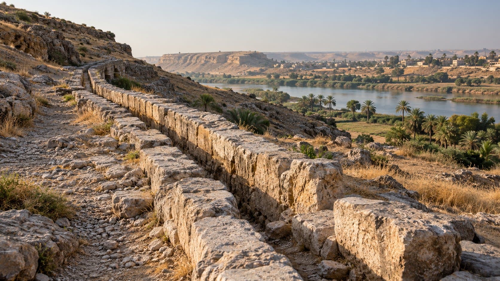
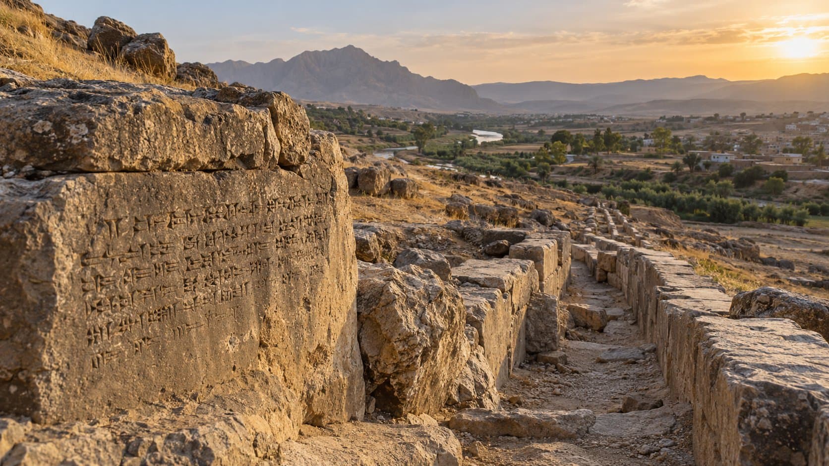
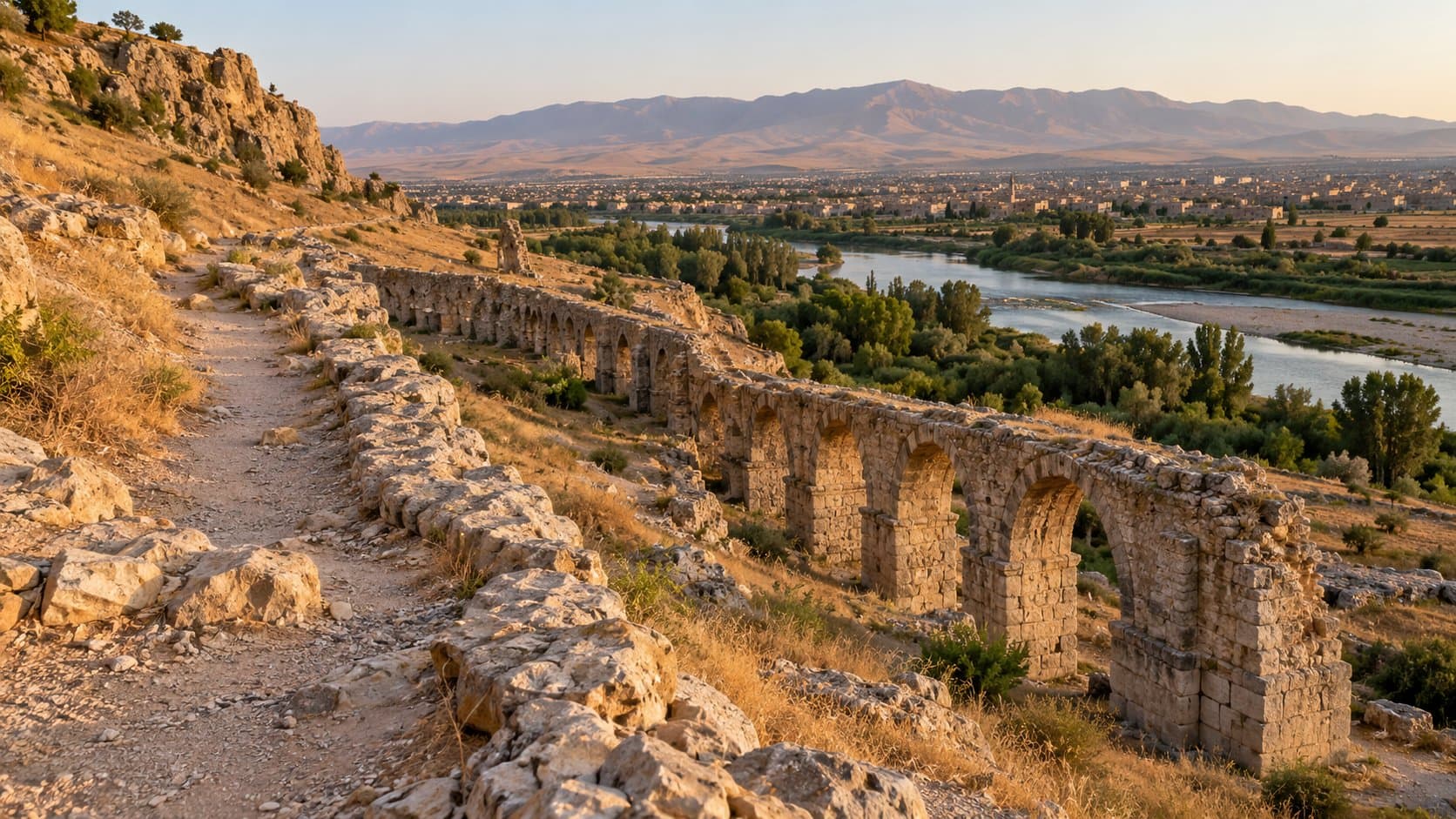
# King Sennacherib's Aqueduct Trail at Jerwan Walk up to Jerwan and the masonry looks surprisingly low against the open northern Iraqi scrub. Stand back, though, and the surviving stone courses snap into focus. Nearly 2,700 years ago, Assyrian builders laid these heavy limestone blocks across the valley floor to channel fresh water into Nineveh. North of Mosul, the site preserves a key section of the water network King Sennacherib commissioned for his capital. While guidebooks often call Jerwan the oldest stone aqueduct in the world, the [site overview](https://en.wikipedia.org/wiki/Jerwan) treats that claim cautiously, noting earlier stone conduits elsewhere. Regardless of where it sits on the timeline, it is an extraordinary piece of ancient civil engineering. Do not expect a signed hiking route, ticket booth, or marked paths. Jerwan is an open archaeological ruin in an active farming valley. Treat any trip here as an archaeological walk with a local guide. {{image}} ## The water system behind the stones Between 703 and 690 BCE, Sennacherib's engineers built the Atrush canal system through northern Assyria to supply Nineveh and its royal gardens. Jerwan served as an aqueduct bridge within this network, carrying the canal across a wide valley without losing elevation. The surviving structure was built from dressed limestone blocks, low stone arches, and waterproof mortar, as documented in the [Jerwan overview and its archaeological references](https://en.wikipedia.org/wiki/Jerwan). Unlike the towering arcades of Roman aqueducts in Europe, Jerwan sits low and broad. It looks like a massive stone causeway pierced by culverts. Assyrian builders focused on gradient. They had to drop mountain runoff gradually across miles of dry countryside without letting the water cut into the dirt banks. A knowledgeable guide can show you where the original stone courses remain intact and where fallen blocks have tumbled into the streambed. ## A short walk around the ruins Because Jerwan has no formal trail system, plan your movement around ground conditions, weather, and local farming activity. ### Start with the full structure Begin from open, level ground fifty yards back. Looking across the depression gives you a clear sense of the aqueduct's true scale before you look at individual blocks. The line of pale limestone cuts directly through the darker topsoil, showing the path the builders maintained across the valley. Park well away from the stones. In February 2025, [Shafaq News reported a legal complaint over vehicle access for a Lexus commercial](https://shafaq.com/en/Iraq/Lexus-ad-at-Iraqi-site-draws-fire-Toyota-responds) filmed at the ruins. While Toyota disputed how close the vehicle came to the ancient masonry, the incident highlighted how vulnerable unmanaged ruins are. Even when the surrounding ground looks like open dirt, keep cars and four-wheel drives far back from the stonework. ### Follow the visible stonework from ground level Walk along the base of the structure rather than climbing on top of it. Looking up from ground level lets you inspect how tightly the stonemasons fitted the limestone ashlar blocks, and how they built the low arched openings to let seasonal torrents pass underneath the canal. Watch your footing around loose rubble and washouts. There is no reason to scramble over delicate masonry, push through muddy ditch banks, or trespass onto plowed wheat fields just to complete a loop. {{image}} ### Find the cuneiform without touching it What turns a walk around these ruins into a direct connection to antiquity are the royal inscriptions carved into the stone. Sennacherib wanted every traveler and subject to know who paid for and directed this project. The [published site summary](https://en.wikipedia.org/wiki/Jerwan) translates part of his royal dedication, which reads, "Over steep-sided valleys I spanned an aqueduct of white limestone blocks, I made those waters flow over it." Ask your guide to point out the surviving inscribed blocks, which can be hard to spot when midday sun flattens the relief. Bring a camera with an optical zoom to inspect the wedge-shaped signs from the ground. Never splash water on the inscriptions, touch the carved surfaces, or use chalk to make the signs stand out for photographs. The weathered limestone is brittle, and abrasive contact erodes 2,700-year-old chisel marks in seconds. {{image}} ## Planning the visit Hire a driver or guide from Mosul or Duhok who knows Shekhan district. The [site's mapped position](https://en.wikipedia.org/wiki/Jerwan) is approximately 36.66972° N, 43.39361° E, but standard navigation maps do not differentiate between solid gravel tracks and private farm paths. Have your guide confirm current access before driving out. The 2025 [Shafaq report](https://shafaq.com/en/Iraq/Lexus-ad-at-Iraqi-site-draws-fire-Toyota-responds) noted a complete lack of signs at Jerwan, which caused confusion about property boundaries and vehicle access during the commercial shoot. Always respect local farmers and verify whether surrounding fields are seeded. Bring drinking water, sunscreen, and sturdy shoes with solid grip. There are no bathrooms, shops, or shaded rest spots anywhere near the site. Plan your visit for the morning or late afternoon, and leave plenty of daylight for the drive back. If it has rained recently, check the condition of the dirt access road before setting out. Winter rains turn the clay tracks into impassable mud. Travelers with limited mobility should know that the site has no paved paths or ramps, and navigating the area requires walking across uneven, rocky dirt. ## Leave the writing where it is Jerwan survived for millennia because it sat undisturbed in quiet rural pasture. Carry out all trash, leave every stone exactly where it lies, and never pick up or remove loose fragments. If local residents are working the neighboring land, greet them respectfully and ask permission before pointing cameras toward their homes or crops. Before leaving, take one last look from a distance. After inspecting the cuneiform up close, the low stone bridge across the valley takes on a different weight. It is a monument of ancient civil engineering, and a permanent political statement left behind by an Assyrian king. ## Frequently asked questions ```json { "faqs": [ { "id": "faq-1", "question": "Where is King Sennacherib's aqueduct at Jerwan?", "answer": "Jerwan is located in northern Iraq, north of Mosul in Shekhan district, near coordinates 36.66972° N, 43.39361° E. Because rural approach tracks are unmarked, visit with a local guide or driver who knows the area." }, { "id": "faq-2", "question": "Is Jerwan the world's oldest stone aqueduct?", "answer": "It is frequently cited as the world's oldest stone aqueduct, though historians note earlier water-conduit experiments elsewhere. It remains one of the earliest large-scale stone aqueduct bridges ever discovered, dating to roughly 700 BCE." }, { "id": "faq-3", "question": "What was the aqueduct used for?", "answer": "Jerwan carried fresh water across a river valley as part of King Sennacherib's Atrush canal network. Built between 703 and 690 BCE, the system diverted river water south to supply Nineveh and irrigate the royal gardens." }, { "id": "faq-4", "question": "What do the cuneiform inscriptions say?", "answer": "The inscriptions record King Sennacherib's name and royal titles, declaring that he spanned steep valleys with white limestone blocks to bring water to Nineveh. Surviving text can still be seen carved directly into several limestone ashlar blocks." }, { "id": "faq-5", "question": "Is there a marked hiking trail at Jerwan?", "answer": "No. There are no maintained footpaths, trail markers, or visitor centers at the site. Visiting Jerwan involves an informal, short walk over open fields and rough, stony ground." }, { "id": "faq-6", "question": "Can visitors climb or drive onto the aqueduct?", "answer": "No. Driving on the ruins or climbing across ancient stones causes permanent erosion and structural collapse. Park well away from the monument, stay on ground-level footpaths, and leave all loose stone blocks undisturbed." } ] } ``` ## Sources - Wikipedia contributors. "Jerwan." https://en.wikipedia.org/wiki/Jerwan. Accessed October 25, 2026. Secondary overview used for the location, canal chronology, construction and translated inscription. - Shafaq News. "Lexus ad at Iraqi site draws fire, Toyota responds." February 9, 2025. https://shafaq.com/en/Iraq/Lexus-ad-at-Iraqi-site-draws-fire-Toyota-responds. Accessed October 25, 2026. Reporting used for the vehicle-access dispute, not as a statement of current visitor rules.